中央尖4天4夜
Mt. Zhongyangjian
即將到來的活動 Up coming schedule
出團日期 Date:
- 2026/09/27-30 (報名中) (Book now)
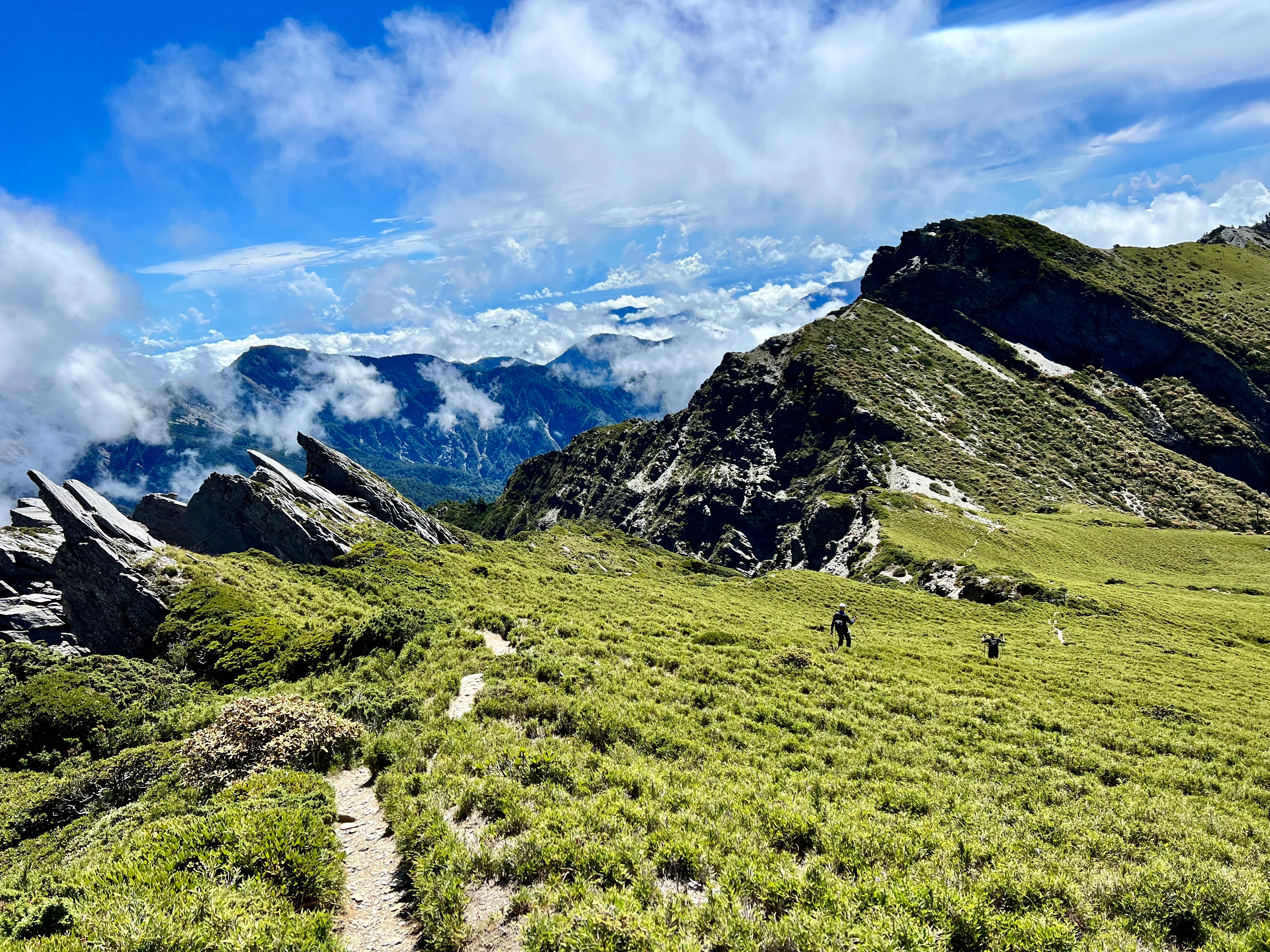
路線簡介 Routes
中央尖山,標高3,705公尺,百岳排名第10,山形呈尖銳的錐形,為台灣百岳「三尖」之首。在台中縣和平鄉境內,屬於太魯閣國家公園範圍,位於中央山脈北一段與北二段交接處,與南湖大山遙望相對;山勢高聳峭拔,地處偏遠,攀登頗具難度,富有挑戰性。
Mt. Zhongyangjian
Known as “The King of Taiwan’s 100 Peaks,” Mt. Zhongyangjian rises to 3,705 meters with a summit so sharp, its triangulation marker sits at the tip of a knife-edge ridge. This climb is for experienced trekkers only – expect technical scrambles, long ascents, rope sections, and some serious exposure. But for those who reach the top, the reward is nothing short of legendary.
行程說明 Itinerary
Day0
台北 TPE → 南山村民宿 Nam Shan Guesthouse (宿)
Day1
民宿 Guesthouse → 勝光登山口 Trailhead → 6.8K登山口 → 木杆鞍部 Mugan Saddle → 南湖溪山屋 Nanhu River Hut (宿)
Day2
南湖溪山屋 Nanhu River Hut → 香菇寮營地 Xiangguliao Campsite → 中央尖溪山屋 Zhongyangjian River Hut (宿)
Day3
中央尖溪山屋 Zhongyangjian River Hut → 中央尖鞍部 Zhongyangjian Saddle → 中央尖山 Zhongyangjian → 中央尖溪山屋 Zhongyangjian River Hut (宿)
Day4
中央尖溪山屋 Zhongyangjian River Hut → 香菇寮營地 Xiangguliao Campsite → 南湖溪山屋 Nanhu River Hut → 木杆鞍部 Mugan Saddle → 勝光登山口 Trailhead → 台北 TPE

